
We will continue to update this section throughout the duration of the project.
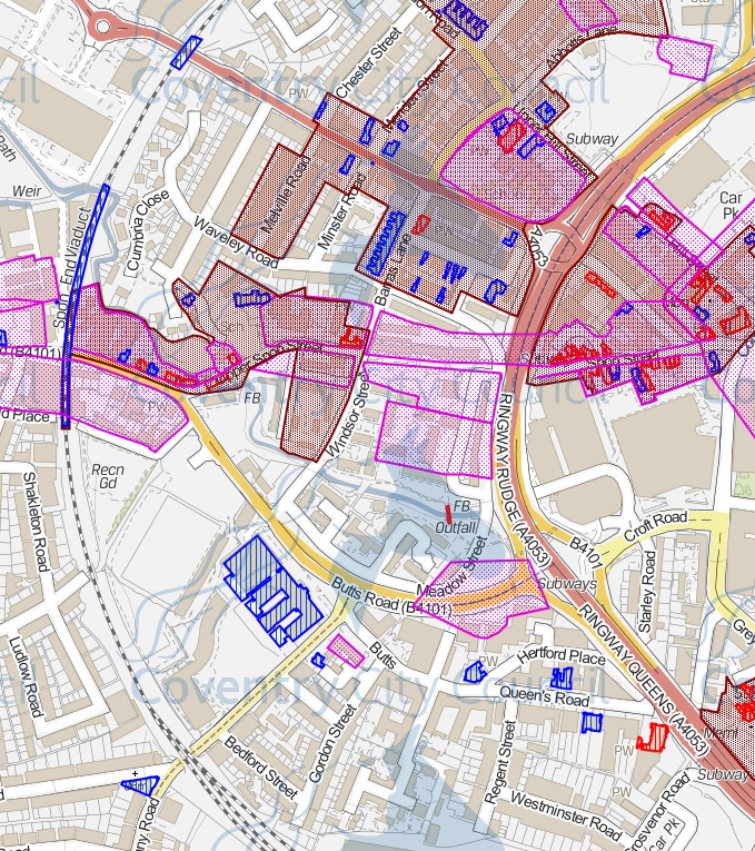
Conservation Area

English Indices of Deprivation, 2015

Index of Multiple Deprivation (IMD) Rank, (where 1 is most deprived):
- Coventry 031D (Sherbourne): 576
- Coventry 031C (St Michael’s): 5,918
- Coventry 030B (Whoberley): 11,055
Sherbourne River

A map drawn by Colin Walker from the Spon End Building Preservation Trust
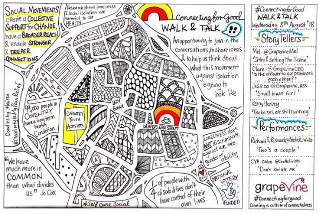
GrapeVine Walk & Talk Map
See also Carol’s post
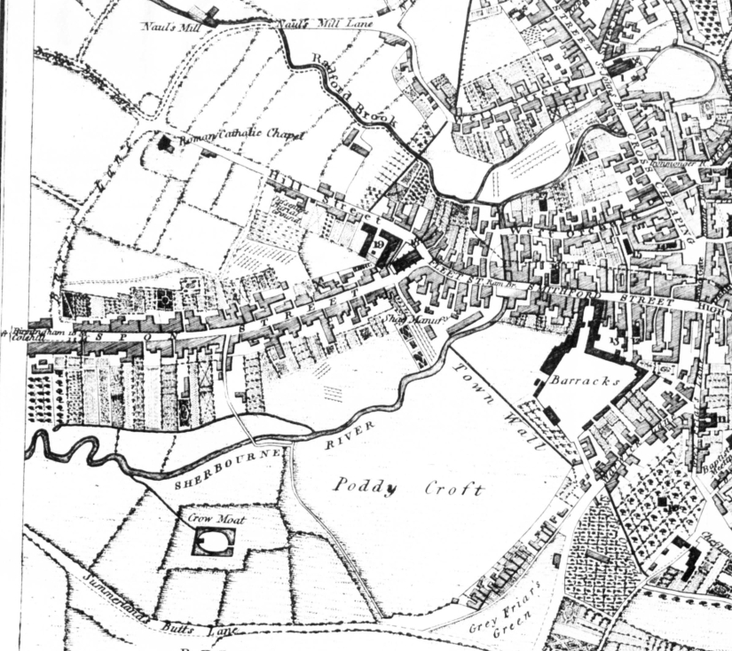
Thomas Sharp’s Map of Coventry 1807 (close up of Spon End)
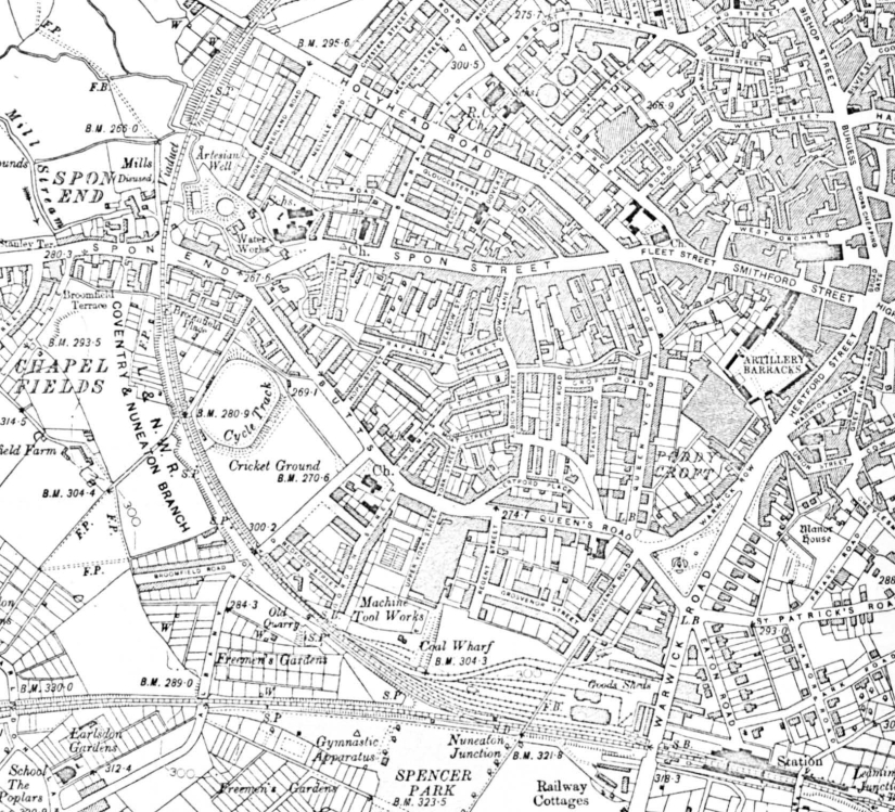
Ordnance Survey Coventry (1906) (close up of Spon End)
* Featured image is the western border of Spon End (source: Britain from Above)

John Ashby. Is he still alive?
LikeLike
Yes, I think so. I spoke to someone from the council a few months back, and they informed me that they and John spoke to each other about this project and Spon End.
LikeLike